- Challenging
- 18.5km
- 700m
- 6h30m
- Type of trail
- -
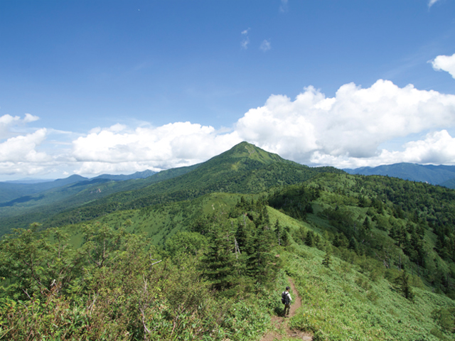
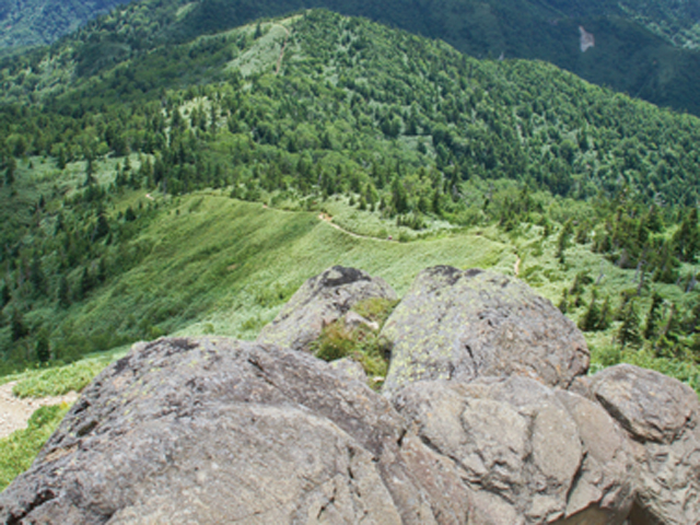
Trailhead choice to Mt. Shiga affects the feel and duration. The last 600m to the summit is a steep scree slope. This is a very exposed and challenging trail. Be well prepared for sunshine, wind, and longer hike time at altitude. You can hike this trail from either way.
There’s a shelter at the top of Mt. Iwasuge that has a hut nearby for use of a take home toilet system.
Route
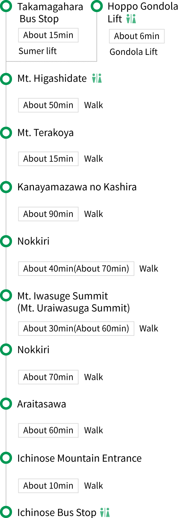
Map
Photo Gallery